Home / Services / Biodiversity, Monitoring & Restoration
Practice 06 · Environmental Sciences · Conservation Enterprise · Regulatory Compliance
A report that changes nothing on the ground is an expense, not a control. We put competent ecologists in the veld on schedule, sensors and drones where people cannot be, and defensible data behind every finding — so the land recovers, the licence holds, and the next decision is made on evidence.
Delivered from our Northern Cape offices — 25 Villiers Street, Kimberley 8300 and 90 Celliers Street, Kuruman 8460 — and nationally from Sandton.
Where We Stand
South African operations are not short of environmental data. Samples get taken, reports get filed, the file closes. Meanwhile a rehabilitation domain fails quietly for three more seasons and nobody scores it until closure planning starts. We build the loop that closes — measure, interpret, recommend, act, measure again — and we hold ourselves to four things while we do it.
Nothing enters an IALE report that cannot be traced back to a sample, a coordinate and a date. If a number cannot be defended to an auditor, it does not go in.
Where the evidence shows a domain is off track or a feature is under pressure, we say so plainly and set out the corrective action, what it costs and how long it takes.
Field campaigns give you four snapshots a year. Sensors, satellite indices and drone change detection give you the months in between, and flag drift before it becomes an exceedance.
As a QCTO-accredited provider we train and certify your own environmental team. The last deliverable is a client who no longer needs us for the routine work.
The Practice
Conservation, compliance and restoration are usually bought from three different providers, and the three sets of numbers never quite agree. We run them off a single monitoring design, a single GIS and a single reporting calendar.
Pillar 01 · Biodiversity Conservation
Conservation work runs from the first baseline survey through to the annual compliance report, with the same data spine underneath. We design the survey against the question rather than against a template, which is what separates a biodiversity report from a biodiversity control.
Ecological surveys of flora, fauna and habitat across the landholding. Sensitive ecosystems and species of concern are mapped and geo-referenced, so a defensible baseline exists before mining, expansion or construction starts — rather than being reconstructed afterwards from memory.
Botanical plots, avifaunal point counts, herpetofaunal and mammal sampling, aquatic and soil assessment, and habitat integrity scoring. Environmental DNA sampling is added where it raises confidence for aquatic and cryptic species that conventional methods miss.
Vegetation regrowth, species establishment, soil stability and erosion tracked across rehabilitated areas and scored against agreed completion criteria and biodiversity offset commitments — paired against undisturbed reference sites, so recovery is measured against what the land should look like.
Alien plant and animal species identified, mapped and prioritised by density and rate of spread. Eradication or containment programmes are designed and run under the applicable invasive species regulations, with the follow-up passes costed upfront — because the second and third clearing cycle is where most programmes quietly fail.
Scheduled UAV surveys produce orthomosaics and vegetation-health indices. Change detection flags erosion, dieback and encroachment early, and every output is held in a maintained GIS, so spatial trends can be read season on season instead of argued about.
Biodiversity sections of Environmental Management Plans drafted and kept current, independent audits against South African legislation, and trend lines, performance scores and Net Positive Impact indicator tracking that feed straight into sustainability reporting and regulatory submissions.
Pillar 02 · Environmental Monitoring & Compliance
We do the measuring, the auditing and the reporting that keeps those conditions met. And we tell you early when something is drifting, while it is still a maintenance job rather than a directive from the department.
Support in preparing and submitting Water Use Licence applications under the National Water Act, then ongoing monitoring of abstraction, discharge and recycling against the licence conditions. Reporting is structured the way the Department of Water and Sanitation expects it, so submissions land complete the first time.
Independent audits of the environmental management system against the environmental authorisation, the Environmental Management Plan and the applicable regulations. Gaps are named, corrective actions carry an owner and a date, and the same points are re-tested at the next cycle.
Third-party verification of environmental performance indicators for sustainability reporting and stakeholder assurance, benchmarked against sector practice. Where the numbers are good, an independent evaluation is what makes them credible to a lender, a regulator or a board.
EMPs drafted, updated and kept operational rather than filed. Climate resilience, water stewardship and biodiversity conservation are built into the plan, and the alignment to South African legislation is set out so it can be demonstrated to an auditor in minutes.
Sensor networks and algorithms for continuous monitoring of air, water and soil quality, with thresholds that raise an alert before an exceedance becomes a reportable incident. The site finds out from its own system, not from a complaint.
The reporting calendar, the compliance register and the submission pack handled as a running process. Field and sensor data flow into the report structure the regulator expects, which cuts preparation time sharply and removes the scramble before every deadline.
Pillar 03 · Habitat Restoration
We start with what the site was, work through soil, vegetation and water in that order, and keep scoring until the land holds together without help. Planting before the soil is right is the most expensive mistake in rehabilitation, and the most common one.
Natural habitats mapped and classified before disturbance, priority ecosystems and sensitive areas identified, and ecological benchmarks set — so restoration success is later measured against something specific rather than against an opinion.
Topsoil recovery, storage and reapplication managed to protect the seed bank and the soil biology that make natural recovery possible. Stabilisation through mulching, contouring and erosion control, matched to the slope, the rainfall pattern and the material actually on site.
Native species propagation and planting, with assisted natural regeneration used wherever the site can do the work itself at a fraction of the cost. Vegetation cover, diversity and resilience are monitored season on season, not signed off after one good summer.
Streams, wetlands and drainage systems rehabilitated, riparian buffers re-established to protect water quality downstream, and aquatic habitat improved so returning biodiversity has somewhere to go.
Ecological indicators tracked — soil health, vegetation diversity, fauna presence — and methods adjusted when the results say adjust. Independent audits verify rehabilitation outcomes so the evidence supports the closure objectives and the eventual relinquishment case.
Local communities engaged and employed in restoration work, with training in sustainable land management. Restoration that the surrounding community has a stake in is restoration that survives after the contractor leaves — we have seen both outcomes, and the difference is not the seed mix.
How We Work
One continuous four-stage cycle, repeated every monitoring season across all three service lines, so the picture stays current and decisions stay grounded in fresh evidence rather than in last year's report.
every finding traceable to a sample, a coordinate and a date
We confirm what must be monitored and why: the significant biodiversity features on the landholding, the rehabilitation domains and their completion criteria, the reference sites, and the indicators the plan, the permit and the applicable standard require. Where baselines exist we build on them. Where they are thin, we say so and strengthen them.
The seasonal field calendar, the survey method for each taxon, the drone and GIS workflow, and the data standards that keep results comparable year on year. Sampling follows accepted South African ecological methods, so findings are defensible to a regulator and to independent review.
Specialists carry out surveys on schedule, drones capture the spatial picture, sensors run between campaigns, and data is captured against a controlled structure with quality checks at source. Field teams work to the site safety regime without exception.
We analyse trends, score rehabilitation performance, track indicators and turn the findings into recommendations with a cost and a timeline attached. Where a domain is off track we propose the corrective action, and the findings feed back into the plan, the permit position and the closure case.
Smart Environmental Intelligence
This is what separates IALE from a conventional environmental consultancy. We are, first, an AI transformation practice — the same engineering we deploy for mining and government clients is pointed at the environment, so sensors, models and dashboards keep watching between field seasons. Very few environmental providers in South Africa bring a QCTO-accredited AI capability to the same contract.
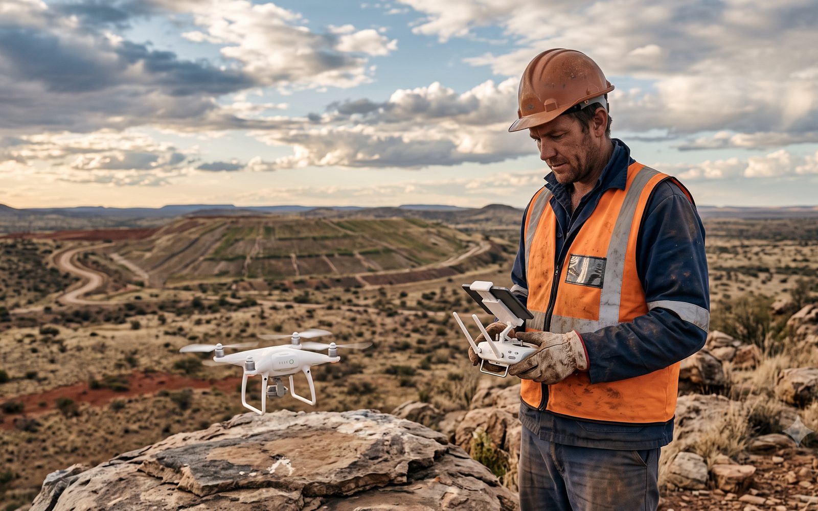
Sensor networks and algorithms for real-time monitoring of air, water and soil quality — early detection of environmental risks and pollution trends, with alerting on the thresholds you set.
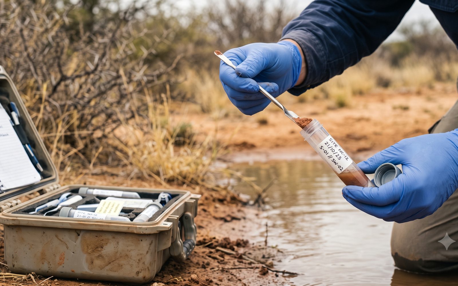
Systems that optimise energy, water and raw-material use, with predictive maintenance that reduces equipment failures and the environmental incidents that follow them.

AI models for emissions reduction and carbon-capture optimisation, plus decision support for sustainable operations and supply chains under real African infrastructure conditions.
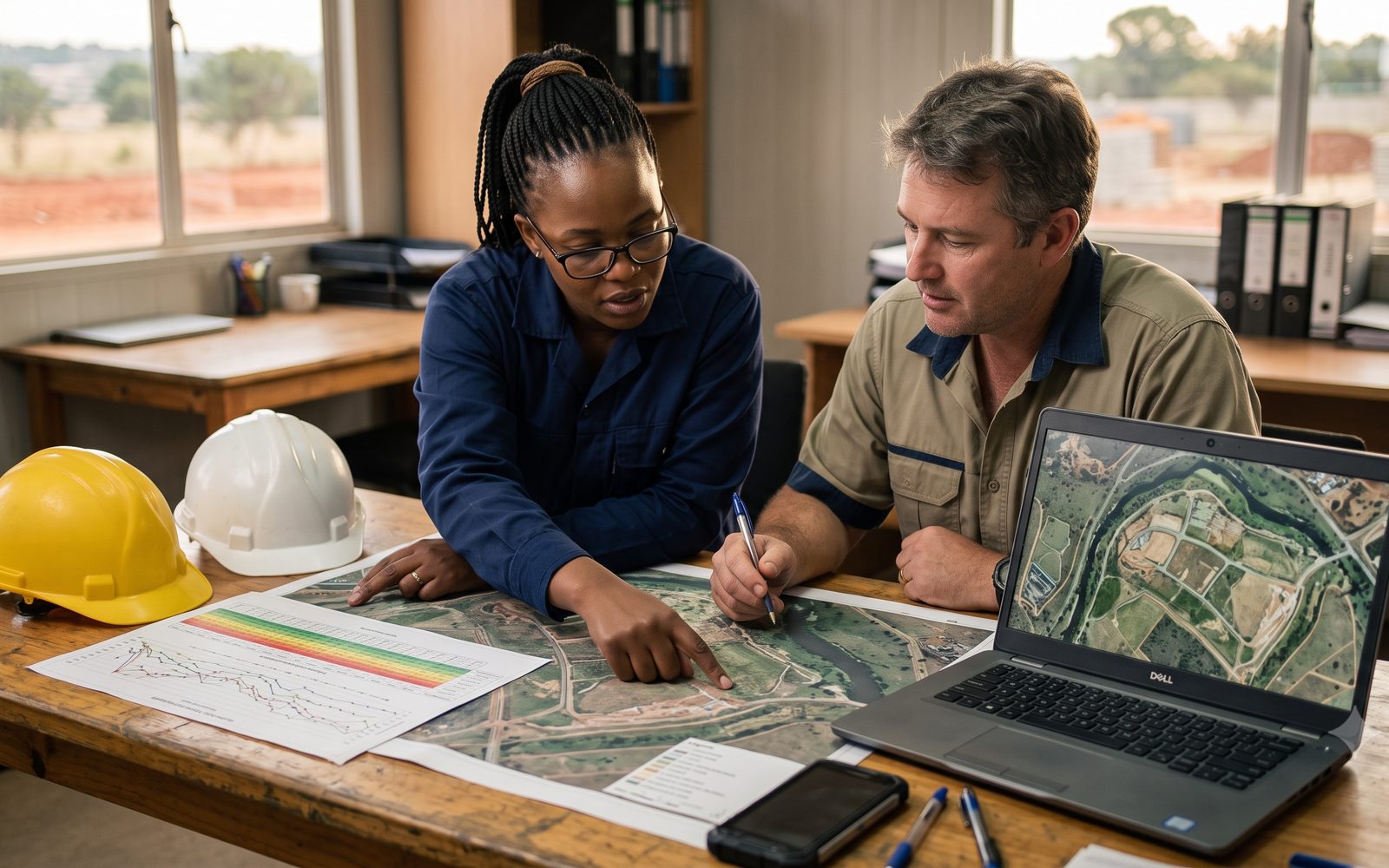
Environmental impact analysis, long-term consequence prediction, and compliance reporting produced from the data rather than retyped into it — with sustainability-goal tracking alongside.
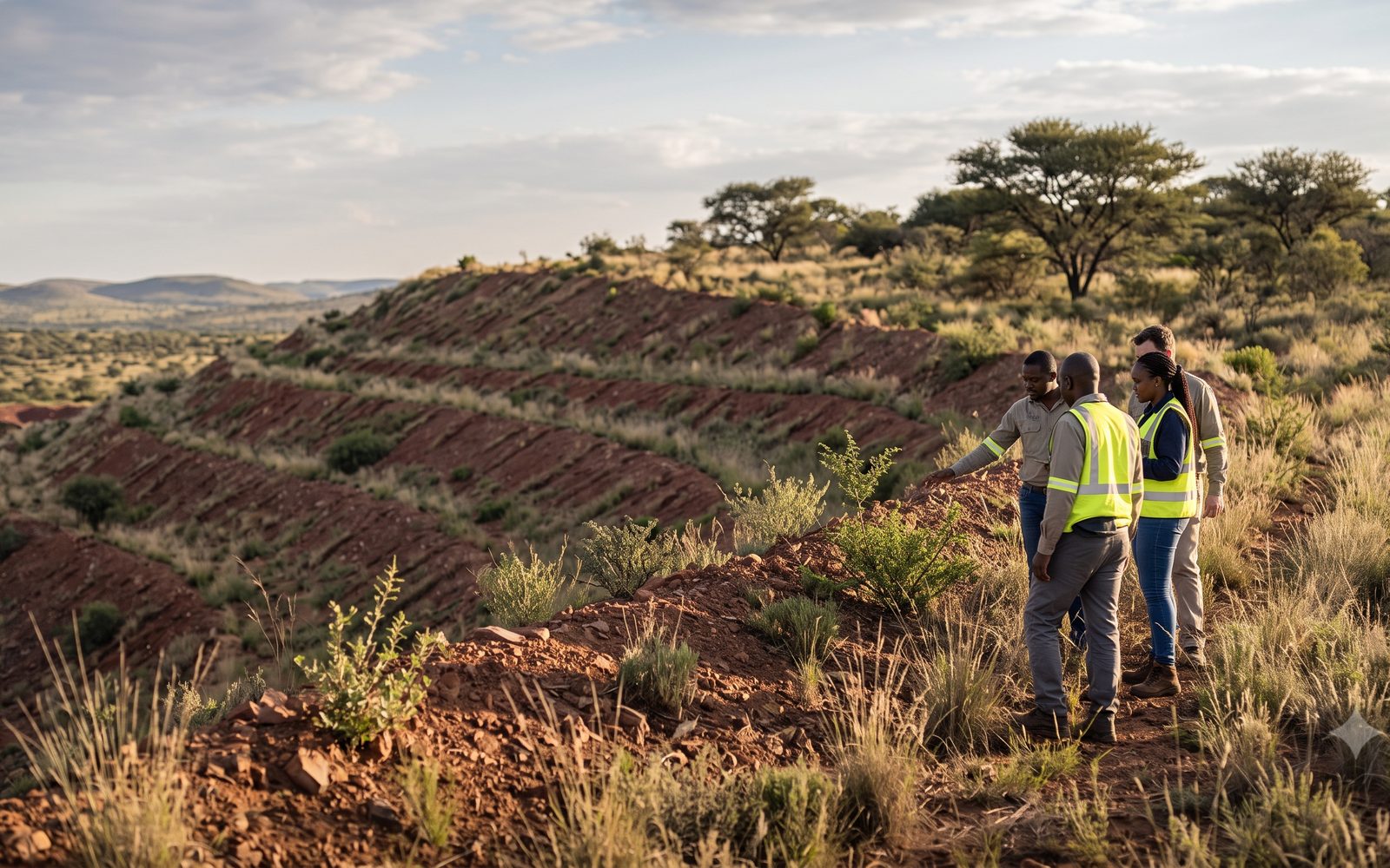
Land rehabilitation strategies for post-mining and industrial sites, with satellite and drone change detection reading recovery across areas far too large to walk every season.

One place where field results, sensor feeds, licence conditions and the reporting calendar sit together — so the environmental manager and the general manager are reading the same page.
Regulatory Alignment
Environmental work only holds value if it satisfies the law and the standards the operation reports against. Every IALE report is structured so the alignment is easy to demonstrate to an auditor or a regulator:
Method & Professional Standards
Our teams work to the Occupational Health and Safety Act 85 of 1993 and site-specific safety regimes without exception — induction before any field visit, and controlled-access and working-near-operations protocols throughout.
Capability Transfer
Much of the routine work — the monthly readings, the EMP updates, the internal audit, the monitoring report — can be done in-house by people who already know the site. As a QCTO-accredited provider we train and certify your environmental, SHEQ, engineering and programme teams to do exactly that, and the certificates count towards formal qualifications, SETA discretionary funding and the skills development element of your B-BBEE scorecard. Learner programme fees are quoted on request.
What the board, the lender and the investor are actually asking for, and how to produce it — indicator selection, the disclosure calendar, assurance readiness and the reporting pack itself.
The NEMA suite applied to your own site: EMP implementation, licence conditions tracked, incident and non-conformance handling, and running an internal environmental audit end to end.
Where the energy is going, what it costs and what to fix first. Energy management systems, measurement and verification practice, and efficiency projects that still work around the load-shedding schedule.
Theory of change, logframes, indicator design and evaluation method — for teams held accountable for programme results rather than programme activities. Built for municipal, SETA and donor-funded work.
From spreadsheet to dashboard, with AI-assisted analysis used properly. Environmental and operational data turned into the trend line a manager can act on — and the judgement to spot when a number is wrong.
Fieldwork is staffed from our Kimberley and Kuruman bases, prioritising local employment including youth, women and persons with disabilities. Field logistics, sampling support and consumables are sourced through local suppliers where practical, so spend and skills stay in the district.
IALE Institute is a QCTO-accredited Skills Development Provider (No. 03-QCTO/SDP 180124083634). The team doing your environmental monitoring can also certify your people to carry it — one contract, one provider, and a paper trail your auditors and your B-BBEE verification agency will accept.
The Team We Field
You are told who is doing the work before the contract is signed, and the same names appear on the reports. Curricula vitae and professional registrations accompany every submission.
| Role | Accountability |
|---|---|
| Lead Consultant | Overall accountability, client interface and strategic reporting — Dr Allen Mutono (PhD, Technology & Innovation), 25+ years of project leadership. |
| Lead Ecologist / Programme Manager | Monitoring and restoration design, field programme management, data integrity and technical sign-off across all taxa. |
| Specialist Ecologists (associate panel) | Botanical, avifaunal, herpetofaunal, mammal, aquatic and soil specialists deployed against the survey schedule. |
| Restoration & Soils Specialist | Topsoil handling, stabilisation and erosion control, revegetation design, and wetland and riparian rehabilitation method. |
| Environmental Compliance Lead | Water Use Licence support, EMP maintenance, internal audits, statutory reporting and the compliance register. |
| GIS & Remote-Sensing Analyst | Drone survey, orthomosaics, vegetation-health indices, erosion change detection and spatial trend analysis. |
| Data & Performance Analyst | Data workflow, biodiversity trend analysis, rehabilitation performance scoring and indicator tracking. |
| Training & Skills Transfer Lead | Accredited programme design and delivery for site environmental teams and local ecological monitors. |
Who We Work With
Biodiversity Management Plans, rehabilitation domains and waste rock dumps, monitoring against corporate biodiversity standards, and the evidence base for closure and relinquishment.
Environmental compliance, wetland and river rehabilitation, invasive species programmes, and results-based monitoring and evaluation of environmental projects.
Baseline assessment, EMP compliance and habitat restoration along linear infrastructure and generation sites, plus energy auditing for the operations themselves.
Water use authorisation and compliance, soil conservation, declared invader control, and riparian buffer restoration that protects downstream water quality.
Permit compliance architecture, species and habitat management under recognised welfare standards, and reporting to provincial conservation authorities within fixed deadlines.
Independent verification of environmental performance for sustainability reporting, finance conditions and third-party assurance.
Pre-disturbance baselines, sensitive habitat mapping, method statements, and post-construction rehabilitation monitoring.
Building environmental service capability in local SMMEs so the district gains providers, not just contracts — run through our Business Capability practice.
Next Step
A scoping call, a site visit where it warrants one, and a costed monitoring, compliance or restoration programme within 48 hours of the brief. Offices in Sandton, Kimberley and Kuruman — Northern Cape fieldwork is local, not flown in.
Discuss Your Environmental Requirement →